

Boundary Determination
Land surveys are often used to establish the exact boundaries of a property, which can help resolve disputes between neighbors or clarify property lines before development or construction projects.
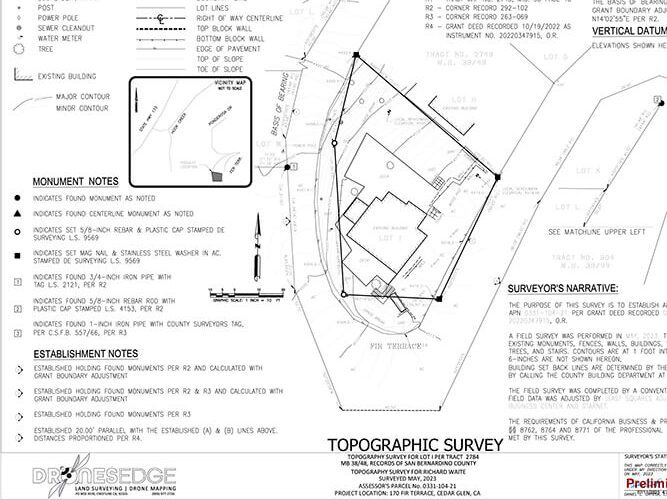
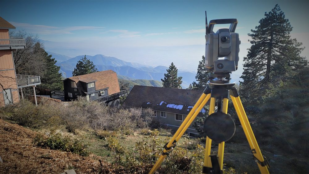
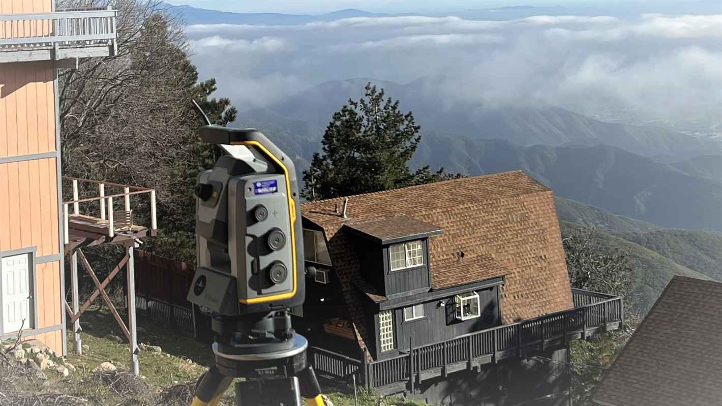
Topography
Surveyors provide crucial information about the terrain, elevation, and existing infrastructure on a piece of land, which is essential for planning and designing development projects such as subdivisions, roads, and buildings.
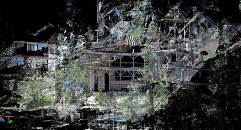
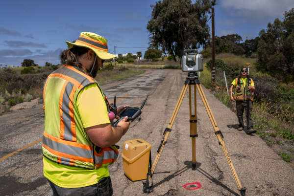
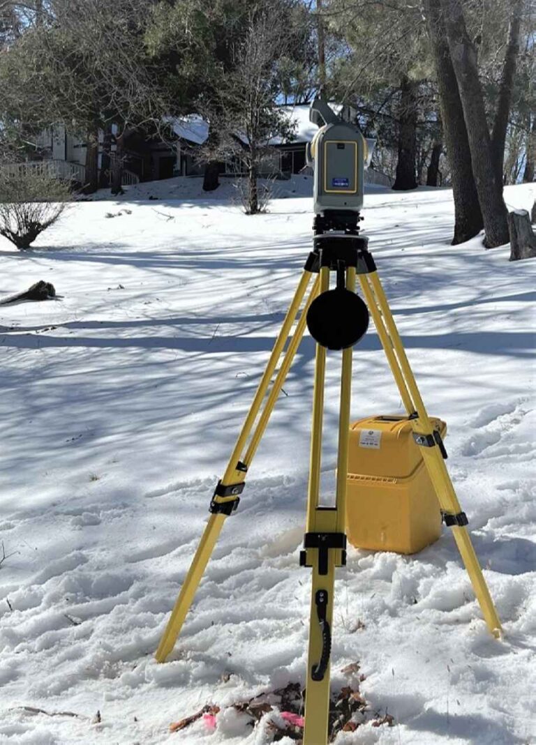
LiDAR
Which stands for Light Detection and Ranging, is a remote sensing technology that uses laser pulses to measure distances to the Earth's surface. It works on the principle of sending out laser beams and measuring the time it takes for the light to return after hitting an object or surface.
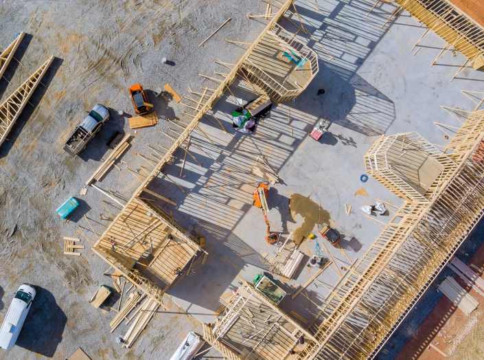
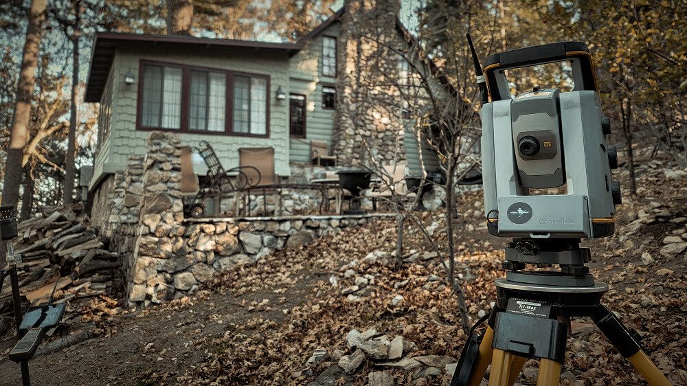
Construction Projects
Land surveys help engineers and architects understand the layout and characteristics of the land where a construction project will take place, enabling them to design structures that fit the site and comply with local regulations.
Legal Documentation
Land surveys provide legal documentation of property boundaries and features, which can be used for property transactions, deeds, Lot Line Adjustments, easements.

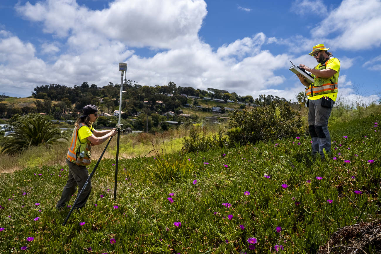
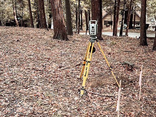
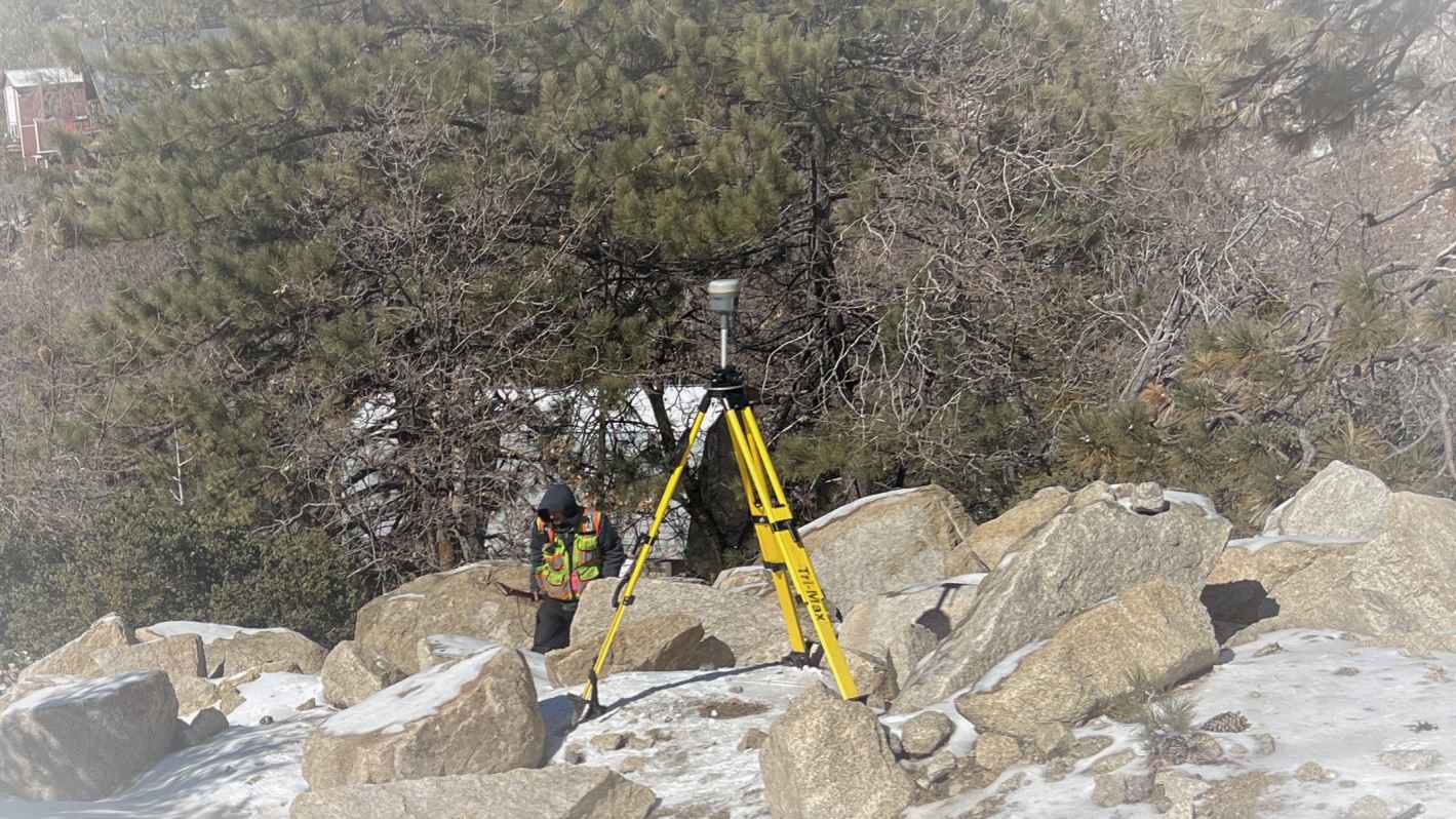
GPS
Known as Global Positioning System land surveying, is a technique used to determine the precise positions of points on the Earth's surface using signals from satellites in the Global Positioning System (GPS). GPS land surveying relies on transmits of satellites orbiting the Earth, which continuously transmit signals containing information about their positions and the exact time the signals were sent.
Lot Line Adjustment
Process by which the boundaries of two or more adjacent parcels of land are modified or reconfigured. This adjustment typically involves changing the location of property lines to better suit the needs of property owners or to resolve boundary disputes.
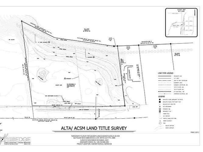
ALTA
American Land Title Association are conducted by licensed surveyors and include detailed information about the boundaries, improvements, easements, encroachments, and other relevant factors affecting the property. They also involve research into property records, deeds, easements, and other legal documents.


