


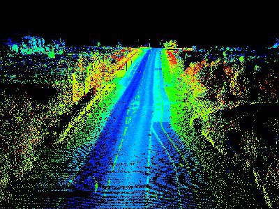
Classified Point Clouds
We can classify our point clouds into groups that may include Ground, Road, Vegetation, building, or any type of man-made construction. This can help create areas of need with a very large data set.
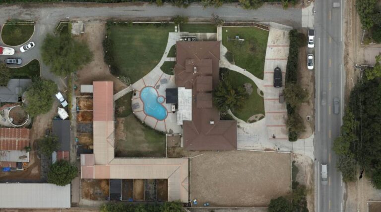
Orthomosaic
or Ortho Photo is a 2D geometrically corrected high resolution image. We can place our survey mapping on top of the image to give more clarity to the project.
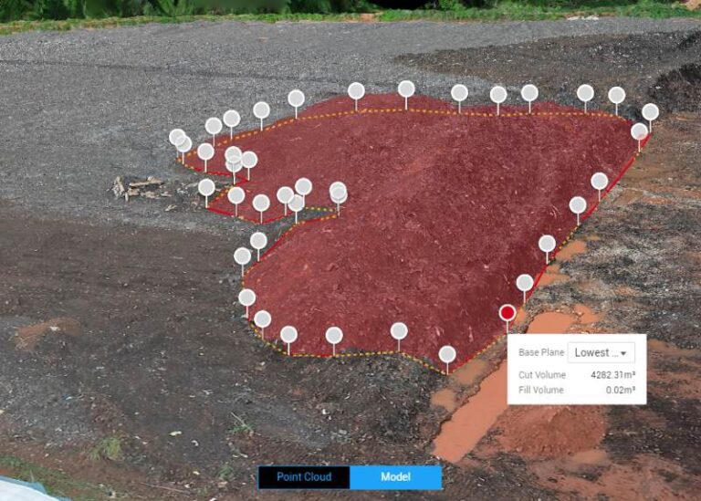
3D Volumetric
Also know as an Aerial stockpile report. We can track and monitor volumes of stockpile by creating 3D models from LiDAR and high-resolution imagery to create a comprehensive & accurate report with a 24-hour turnaround time.
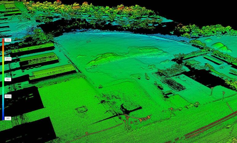
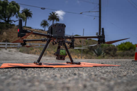
LiDAR
which stands for Light Detection and Ranging, is a remote sensing technology that uses laser pulses to measure distances to the Earth's surface. It works on the principle of sending out laser beams and measuring the time it takes for the light to return after hitting an object or surface.
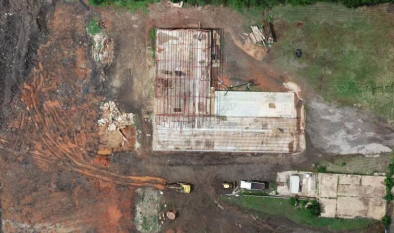
Construction & Planning
We can monitor construction progress with high resolution imagery, Map the site that includes 3D point Clouds, Orthomosaic, and stockpile reports.
This can give a clear progression report to the project manager.
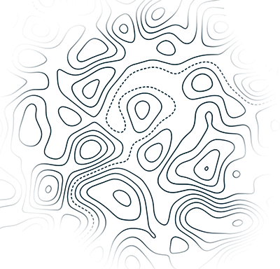
Digital Terrain Model
We can monitor construction progress with high resolution imagery, Map the site that includes 3D point Clouds, Orthomosaic, and stockpile reports.
This can give a clear progression report to the project manager.
